RESTRICTIONS on urban expansion and strong rural subdivision controls are at the heart of the draft Mornington Peninsula Green Wedge Management Plan.
The plan was released for public comment at last Friday’s (22 June) green wedge summit at the Main Ridge Community Hall.
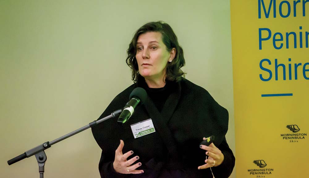
Speakers included Flinders MP Greg Hunt, RMIT environment and planning professor Michael Buxton, Mornington Peninsula Regional Tourism Board chair Tracey Cooper, fifth generation Red Hill orchardist Sheryn Mock, shire planning services manager David Bergin, Peninsula Speaks community environmental group co-founder Christine Haydon, and University of Melbourne food policy lecturer Dr Rachel Carey.
More than 100 residents and representatives of community groups attended the summit to discuss and determine the peninsula’s planning direction and controls.
The mayor Cr Bryan Payne said the green wedge management plan set “key directions” to ensure about 50,000 hectares, or 70 per cent of the peninsula’s land mass, remained rural “in recognition of its value for current and future generations”.
“Through this management plan we are confirming the urban growth boundary allowing no urban expansion into the green wedge and with strong rural subdivision controls to protect the landscape and opportunities for agriculture, rural living and conservation,” he said. Applications for housing on existing rural lots would only be considered in conjunction with land management plans providing for the “substantial, sustainable and productive use of the land for agriculture and or habitat restoration”.
The summit was told the shire’s green wedge was one of the state’s most important natural assets.
The shire’s 185 reserves include 120 council-owned bushland and coastal foreshore reserves, Point Nepean and national parks, Arthurs Seat state park and Devilbend natural features reserve.
About 27 per cent of the peninsula’s remnant vegetation is reportedly on public land.
“Conservation policies for the peninsula were first introduced more than 40 years ago and the special role and character of the Mornington Peninsula Green Wedge continues to be highly valued by both the local community and the wider population of Melbourne,” Cr Payne said.
“The green wedge management plan will support sustainable agricultural uses that are consistent with protecting landscape and habitat values, as well as access to regional programs for peninsula farmers.
“It will support agritourism, including farm gate sales, host farms, farmers markets and recycled water projects.
“Tourism and leisure-based development which supports and is established in conjunction with a core purpose of the green wedge, such as agriculture, conservation or outdoor recreation, will be considered for the green wedge.
“This is provided they are not over developed.”
Under the plan, minimum lot sizes will be required for intensive uses, such as restaurants and function centres, with no cluster or strip development outside established townships.
The green wedge includes Arthurs Seat, Red Hill, Flinders, Balnarring, Shoreham and Somers, as well as smaller settlements at Moorooduc, Merricks, Point Leo and Main Ridge.
More than 80 per cent of land within the green wedge is privately owned. It consists of 4939 lots, some of which remain in multi-title landholdings.
About 83 per cent of the lots have a dwelling of some kind, but only a few have multi-dwelling sites. These are mainly in resorts.
The 4116 separate dwellings in the green wedge have a 71.5 per cent occupancy rate and housed 8519 people last year.
Cr Payne said through the green wedge management plan the council supported the recreational role of the peninsula with proper infrastructure planning and investment. He said the shire was seeking a partnership with the state government to develop a green wedge recreation plan.
The summit was told the purpose of the green wedge zone was to implement the state planning policy framework and the local planning policy framework, including the municipal strategic statement and local planning policies.
It aimed to provide for the use of land for agriculture; to recognise, protect and conserve green wedge land for its agricultural, environmental, historic, landscape, recreational and tourism opportunities, and mineral and stone resources; to encourage use and development consistent with sustainable land management practices; to encourage sustainable farming activities and provide opportunity for a variety of productive agricultural uses; to protect, conserve and enhance the cultural heritage significance and the character of open rural and scenic non-urban landscapes, and to protect and enhance the biodiversity of the area.
First published in the Southern Peninsula News – 26 June 2018


