

HELICOPTERS are scanning powerlines across the Mornington Peninsula over the next fortnight, as part of United Energy’s year-round bushfire mitigation and vegetation management program.
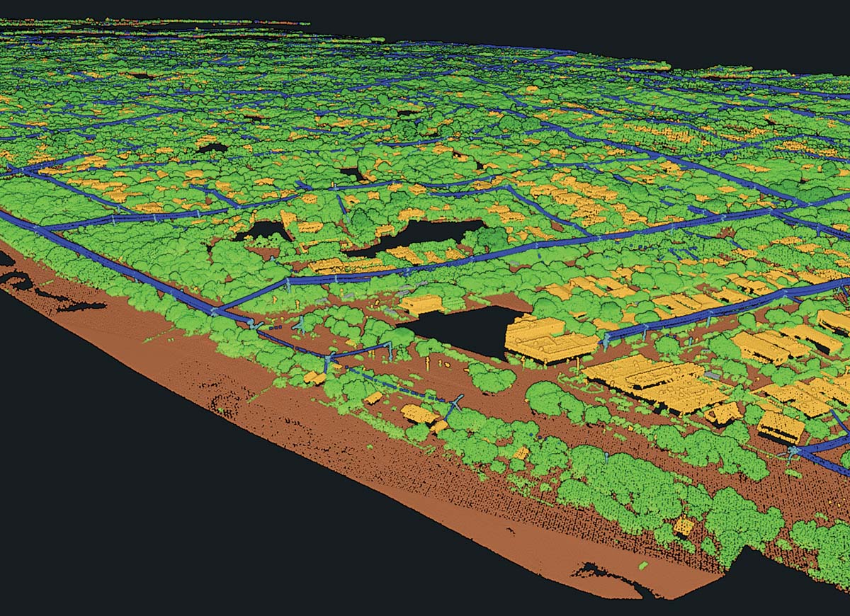
People may see and hear the choppers, which fly about 300 metres above the ground and use technology known as Light Detection and Ranging (LiDAR) to scan the distance between tree branches and powerlines. Using the LiDAR data, United Energy teams create 3D models of powerlines and their surroundings, helping to inform what vegetation needs to be cut.
United Energy’s Head of Vegetation Management, Ayce Cordy, said it was important that accurate measurements were taken of all vegetation each and every year. “Inspecting and managing vegetation growing near powerlines is an essential part of how we keep power safe and reliable for our customers,” Cordy said. “By capturing data every year, we can track growth rates of vegetation across our network, helping us plan where to cut right now and when we may need to conduct cutting in the future.”
The helicopters are operating over Frankston, Red Hill, Sorrento, Hastings, Rosebud, Mornington and Dromana. Each year United Energy uses a fleet of three helicopters to inspect 100 per cent of more than 13,000 kilometres of powerlines across Melbourne’s east, south east and the Mornington Peninsula.
First published in the Mornington News – 25 February 2025