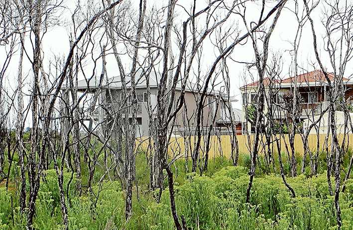
RESIDENTS living near shire bushland reserves or with an interest in them can contribute to new fuel management plans released by the council last week.
The shire has 233 bushland reserves and draft maps for each one will guide fuel management for the next five years.
The plans will be on public exhibition until Thursday 21 January.
The mayor, Cr Graham Pittock, said the overall objective of the maps was to engage the community, assess bushfire threats, and guide risk reduction.
“Meaningful risk reduction depends on the shire communicating its plans and work programs as well as understanding how residents prepare for and respond to fire risk,” he said.
The shire would also seek feedback from peninsula fire brigades.
“The shire takes fire fuel management seriously, and strives to achieve both best practice ecological and environmental management as well as ensure and preserve community safety and amenity.”
He said preparations for the fire season included fuel reduction in bush reserves, inspecting more than 4500 blocks of land, community education sessions with the CFA, roadside fire prevention works, patrols of reserves on days of total fire ban, vegetation removal for power line clearance and road verges, and “substantial fire planning in collaboration with CFA, Victoria Police, Parks Victoria, and the SES”.
Simon Thorning of the shire’s natural systems section said opportunities for ongoing input into reserve fuel management planning would be provided through public forums, an online survey, multi-agency events, community group meetings, and “response to service requests”.
He said the shire was spending more than $1.6 million for fire management works – $700,000 on parks and roadsides, and $950,000 for “bushland management and other specialist contractors”.
The maps are on the shire’s website at www.mornpen.vic.gov.au under “Services For You” and then “Fire Emergency Management” or at shire offices in Rosebud, Hastings or Mornington.
Call the shire’s fire education officer on 1300 850 600.


