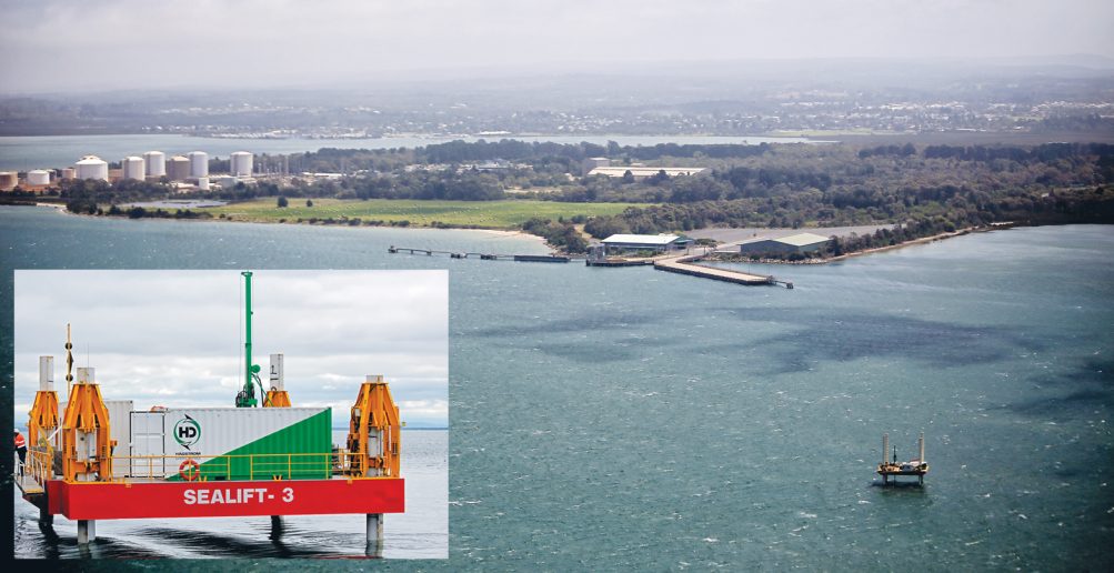
SOIL samples and surveys began this week on land likely to be used for the planned expansion of the Port of Hastings.
The 30 drilling sites are just north of Hastings within the BlueScope Steel area and around Whitneys Rd, Somerville.
Core sampling and surveys have been underway in Western Port since December, mostly in the proposed port area and North Arm channel, and will now continue throughout all survey areas, including the Western Channel and anchorage.
Port of Hastings Development Authority CEO Mike Lean said the survey results would provide “detailed knowledge on the soil composition, geological characteristics and topography in areas of the existing port-related special use zone (SUZ1)”.
“The marine and land-based site surveys will provide the critical baseline information needed to inform port design and detailed scientific studies over the next three to four years of detailed planning for an expanded container port at Hastings,” Mr Lean said.
He said the land surveys were planned over the next two to three months and would not be carried out on days of total fire ban.
“Since mid-December 2013, specialist contractors Worley Parsons and Aurecon have completed about 50 per cent of the marine geophysical survey and about 20 per cent of the marine geotechnical survey,” Mr Lean said.


